
Description
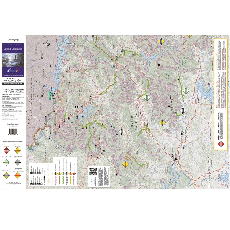
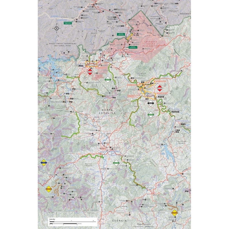
Western North Carolina Public Trout Waters Fishing Map
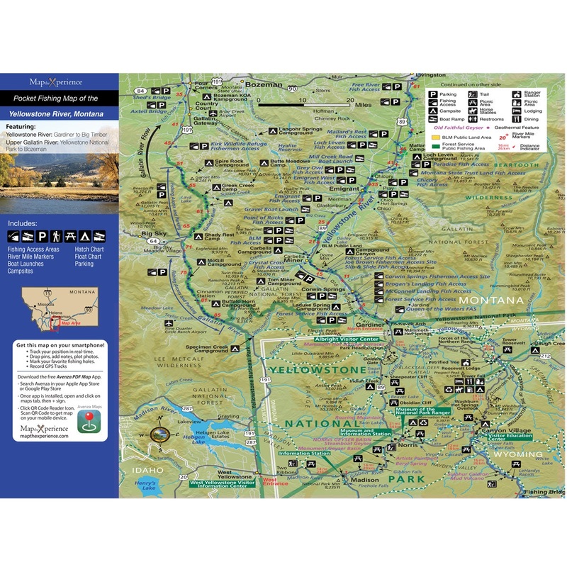
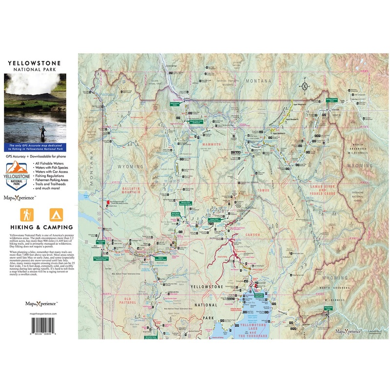
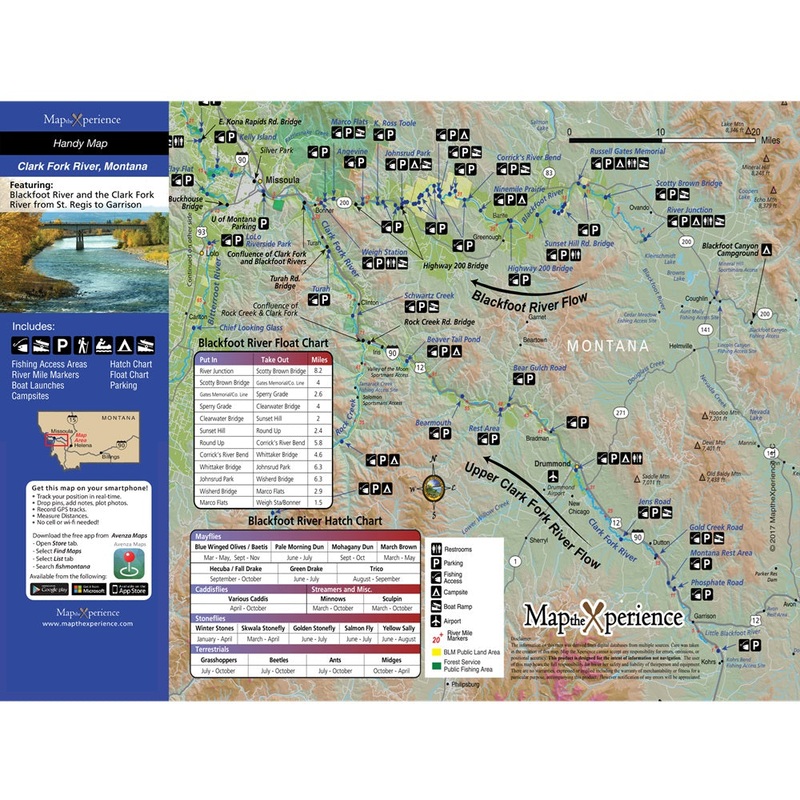
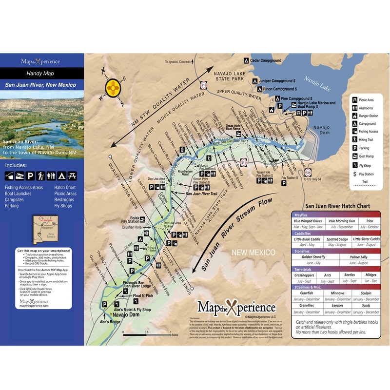
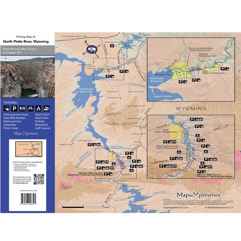
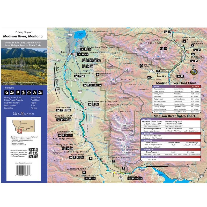
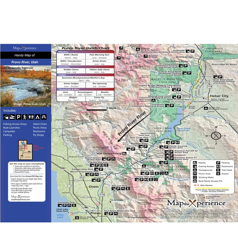
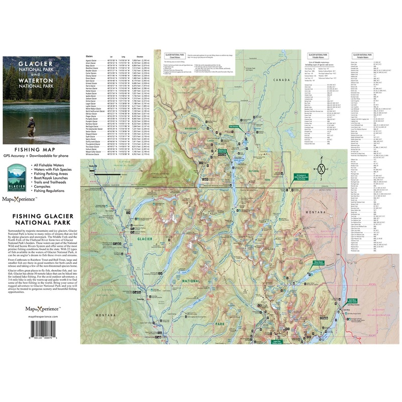
Introducing our Western North Carolina Public Trout Waters Mapthe only map youll ever need for a successful fishing adventure. Specifically designed for anglers, this guide combines a large 36×24″ paper map and a convenient free mobile map version for on-the-go guidance. The mobile map, valued at $4.99, is included for free. Simply scan the QR code to unlock the full digital experience through the Avenza Map App. The paper map is $7.95 with free shipping. Our expertly crafted map transforms your fishing trips from uncertain and stressful to smooth and productive.
Our Western North Carolina Public Trout Waters Map includes:
Comprehensive Coverage: Includes all public trout waters with stream designations like special regulation waters, hatchery supported trout waters, delayed harvest trout waters, wild trout waters, and more.
Public Lands: Detailed information on all federal, state, city, and county public lands, along with special trout regulation areas.
Fishable Waters and Species: Clearly identifies all fishable locations and the types of fish available.
Up-to-Date Regulations: Keeps you informed on fishing and park rules to ensure a responsible outing.
Essential Amenities: Locations of trailheads, campgrounds, and specialized fishing parking spots.
Avenza Map App Features:
Offline Access: Use your map without relying on cell service.
GPS Guidance: Stay on track with precise GPS assistance.
Detailed Layers: Customize your map view to fit your fishing needs.
Spot Marking: Mark and revisit your top fishing spots.
Photo Tagging: Document your catches with geo-tagged photos.
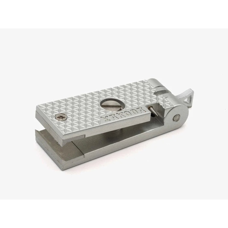 Yakoda Nipper|Titanium|Silver
 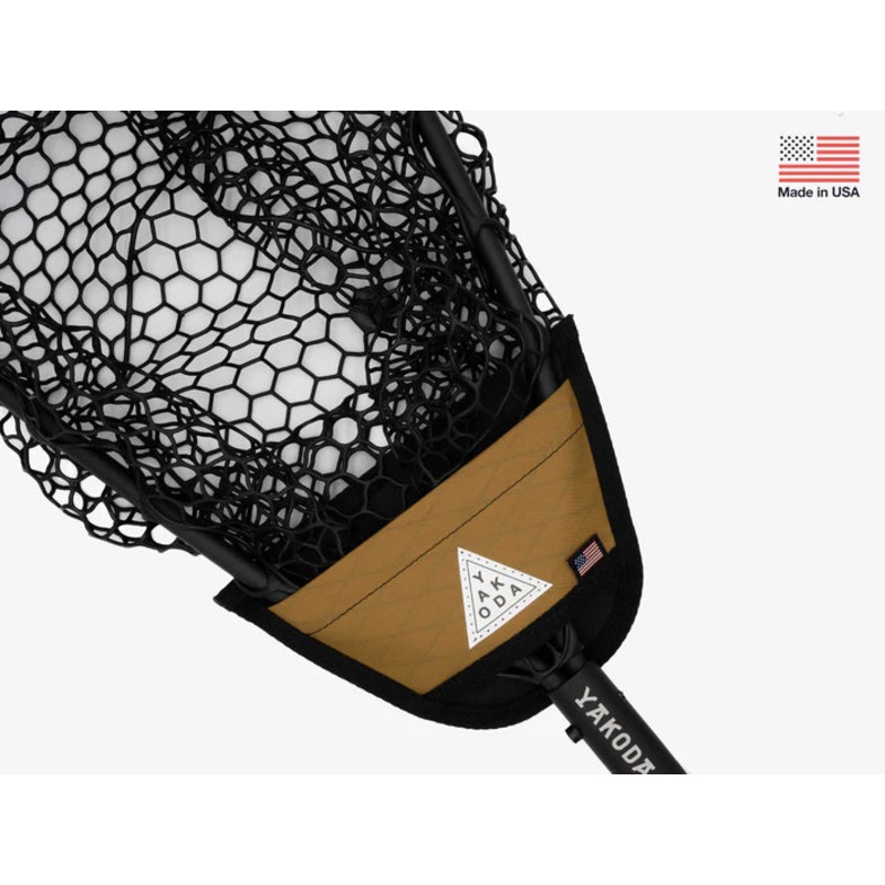 Yakoda Net Holder|Moss|Coyote
  Yakoda Fly Patch|Black|Mountain Multicam|Black Multicam|Night Sky
Reviews
There are no reviews yet.